
Alabama’s 42 Weather Live:
https://www.youtube.com/watch?v=CfX1xVtAIYM
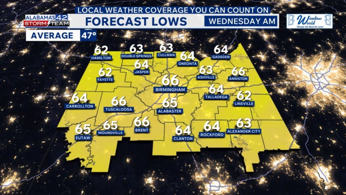
Tonight, the cold front will move into Alabama, bringing scattered showers and storms. A few could be strong, with heavy rain and gusty winds. There is a Level 1/5 Marginal Risk for severe storms across NW Alabama, so we will keep an eye on that area. Overall, the severe threat is low. Lows will be in the lower to mid-60s, with winds around 15 to 20 mph and gusts up to 25 mph.

The cold front will move across Alabama on Wednesday with scattered showers and thunderstorms. A few storms could be strong, bringing gusty winds and heavy rain. The severe weather threat is low, but it is something to watch if there is enough instability for storms to feed off of. Highs will be in the mid-70s. Winds will gust to 25+ mph outside of thunderstorms. Rain totals will range from 0.1″ to 1″+.

Thursday will begin with some clouds and sprinkles, but it will turn partly cloudy in the afternoon with lower humidity and highs in the mid-70s.
On Friday, a second cold front will track across Alabama, but this one will be dry. It will be partly cloudy and mild, with highs in the mid-70s. The weather looks good for high school football playoff games Friday evening, with temperatures falling into the 50s.

Weekend Outlook: The second cold front brings a reinforcing shot of cooler temperatures to Alabama this weekend. Saturday and Sunday will be mostly sunny, breezy, and cooler, with highs in the mid to upper 60s. Lows will be in the lower to mid-40s. Overall, it will be a lovely weekend!

Copyright 2026 Nexstar Media, Inc. All rights reserved. This material may not be published, broadcast, rewritten, or redistributed.For the latest news, weather, sports, and streaming video, head to Alabama’s 42.